Why Aerial Photos Aren’t Enough (And How to Save Your Trip)
Part 1 of Grouse Don’t Read Maps. But You Should.
Ann Jandernoa
June 26, 2025
I can still remember when Google Earth was launched in 2005. In forestry, it felt like a game-changer. For the first time, we could look across vast landscapes, spot canopy gaps, identify disturbances, and start making assumptions about what was happening on the ground without ever setting foot there. For a long time, imagery was the gold standard. For 15 years, that’s what we relied on in forestry, habitat work, and even conservation planning. It worked… to a point.
But technology has evolved and so has what’s possible.
Today, GIS has emerged as the cutting edge of habitat analysis. It’s no longer about just looking at trees from above. It’s about knowing what they are, when they were cut, how they’re growing, what surrounds them, and how all of that interacts to shape usable cover for wildlife.
Yes, imagery still has value — if you’ve got the right year and multiple-year comparison. But GIS goes deeper. It draws boundaries. It defines stand characteristics. It gives you in-depth insights into structure, composition, and ecological context.
In fact, GIS has become the foundation of modern forest inventory. It’s the backbone of nearly every serious habitat or conservation program today. It’s how species research is organized, tracked, and advanced. So when it comes to grouse hunting, the question is simple: Why rely on approximations from photos when you could be walking into mapped habitat? With mapped habitat you can actually see your tracks as you are walking on the mapped cut, with a known harvest year and the surrounding habitat identified as well.
Real World, Real Fast
Here’s a scenario we hear all the time:
“I was headed to a spot I found through imagery. It was labeled as aspen and looked thick and edgey — promising.
But when I got there, it was aged-out old aspen. No understory, no structure, just tall trunks and empty woods.
That’s when I pulled up Scout N Hunt. A quick glance showed me it was a 20-year-old aspen cut, so now I use Scout N Hunt to show me where other aged cuts are in the area, and it led me straight to a younger cut nearby that had cover. The older cut was marked on Scout N Hunt as a 20-year-old aspen, but the imagery never showed me the 7 other prime aspen cuts that were available.
Five minutes in, my dog locked up on point and my trip wasn’t wasted. That’s the kind of info you don’t get from imagery alone.”
Why GIS Beats Guesswork
Aerial scouting has its place. It can be useful, no argument there. But very few hunters are experts at interpreting imagery. And even fewer have the time to zoom, scroll, and decode every patch of green.
When you need actionable intel, fast — it’s hard to beat clear, purpose-built GIS data. Scout N Hunt gives you real habitat layers: cut year, timber type, and surrounding cover, all labeled and ready. It’s clean. It’s concise. It’s made for grouse hunters.
Bottom Line
The guy next to you is still panning around on imagery, wondering, “is that even aspen? And if it is, how old is it actually?
You? You’re already walking into mapped cover with a harvest-proven plan in your pocket.
Field-Tested Testimonial
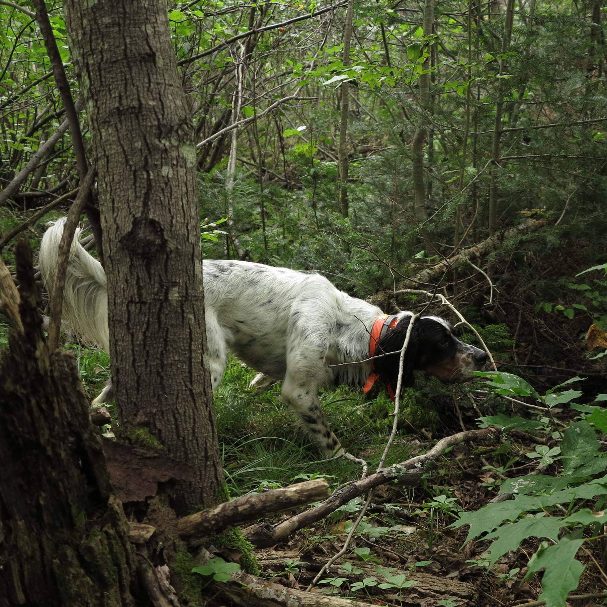
“Over the years, I’ve tried other apps, but when it comes to grouse hunting, there’s only one that truly makes a difference. Scout N Hunt has been geared toward grouse hunters from day one. This app puts me in cover fast, and I don’t waste time driving around looking at all different ages of aspen stands.
I just open the app, look at the area I plan to hunt, and every cut has a harvest year. It’s simple — plus I already know what kind of habitat surrounds each cut. No guessing. I spend more time hunting. Not to mention it is totally Off-Line.
My dog Butch and I really appreciate this product. Thanks, from a grateful grouse hunter.”
— Chuck Smith, Michigan (Long-time Grouse Hunter)