ring-necked-pheasant-with-hen

From North Dakota to Kansas, the Best Pheasant Hunting Map.

Offline Anytime.

Buy Now

Prime habitat means greatest bird density

Cropland & Rotation data

Cattail areas & slough data

Grassland areas & shrub data

Marshes and wetland data

Western Walk-in Areas: Hunter program identifies private lands open to public hunting through walk-in access. Habitat, crop and boundaries mapped.

Public Land Boundaries

Roads & Trail Systems

Topographic features

and much, much more

public-pheasant-hunting-mapped

The “best pheasant hunting near me” can be on your phone all the time.

You know that pheasants prefer low to medium grasses and grain fields for feeding. They seek cover in cattail sloughs and switchgrasses for protection from the elements and predators. Our map layers will put you in prime pheasant hunting habitat. Cropland, lowland, public land and more are layered on our maps to put you on the best pheasant hunting land. We map states from the East Coast to the West Coast.

See Habitat Mapped

Buy Now

The most effective pheasant hunting map on the market | Start planning your next Pheasant Hunt

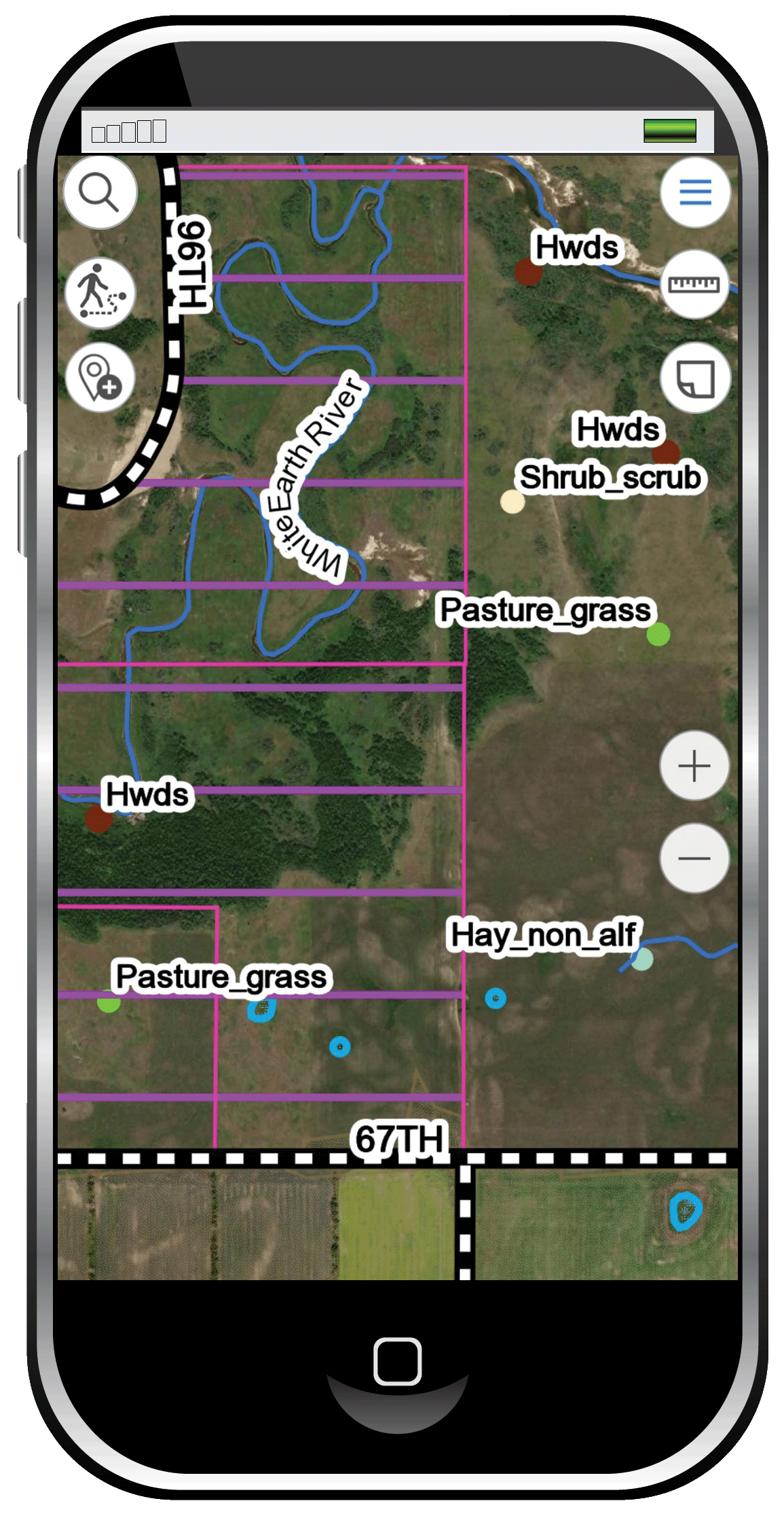
Your time is valuable. Don’t waste it looking for prime habitat. Use our system and head directly where the pheasant are. Our maps include trail systems and public land boundaries. Or use our tracking feature to drop a pin where you park, confident that you’ll get back to your vehicle after a successful hunt.

We offer prime habitat layering pheasant maps statewide for South Dakota, Kansas, North Dakota, Nebraska, Iowa, Montana, Idaho, Oklahoma, Colorado and Wyoming with Washington coming later this fall. We’re adding to our database all the time so please check back soon.

Buy Now