ruffed-grouse-in-wi-county-forest

The Only Grouse Hunting Map You’ll Need.

More than a map, this is a system
to find Ruffed Grouse

Buy Now

Prime habitat means greatest bird density

Forest Land Details: forest type, logging cut age & acreage

Detailed upland and lowland data

Marshes and wetland data

Public Land Boundaries

Topographic features

Roads & Trail Systems

and much, much more

See Habitat Mapped

grouse-hunting-areas-mapped-where-the-birds-live

Know the habitat, know where to find ruffed grouse.

Lots of apps differentiate between public and private land, an imperative for legal hunting. Our map does that well. While being ethical, we want you to be successful. That’s why our maps have habitat layers.

Aspen groves logged in the last 9 to 16 years harbor dense numbers of ruffed grouse. The new shoots provide ample food and the thick growth offers protection from predators. Use our habitat layers to find prime hunting areas. Start hunting before the hunt starts.

Maybe it’s windy and raining only day you can get in the field. You know that ruffed grouse head to the lowland conifers during inclement weather. Easily switch between layers. First decide which habitat is prime for the day, then use our map layers to find it. Whether it’s lowland, aspen groves or a stand of conifers that you need, we’ll get you there.

Best Grouse Hunting Maps | Start planning your next Grouse Hunt

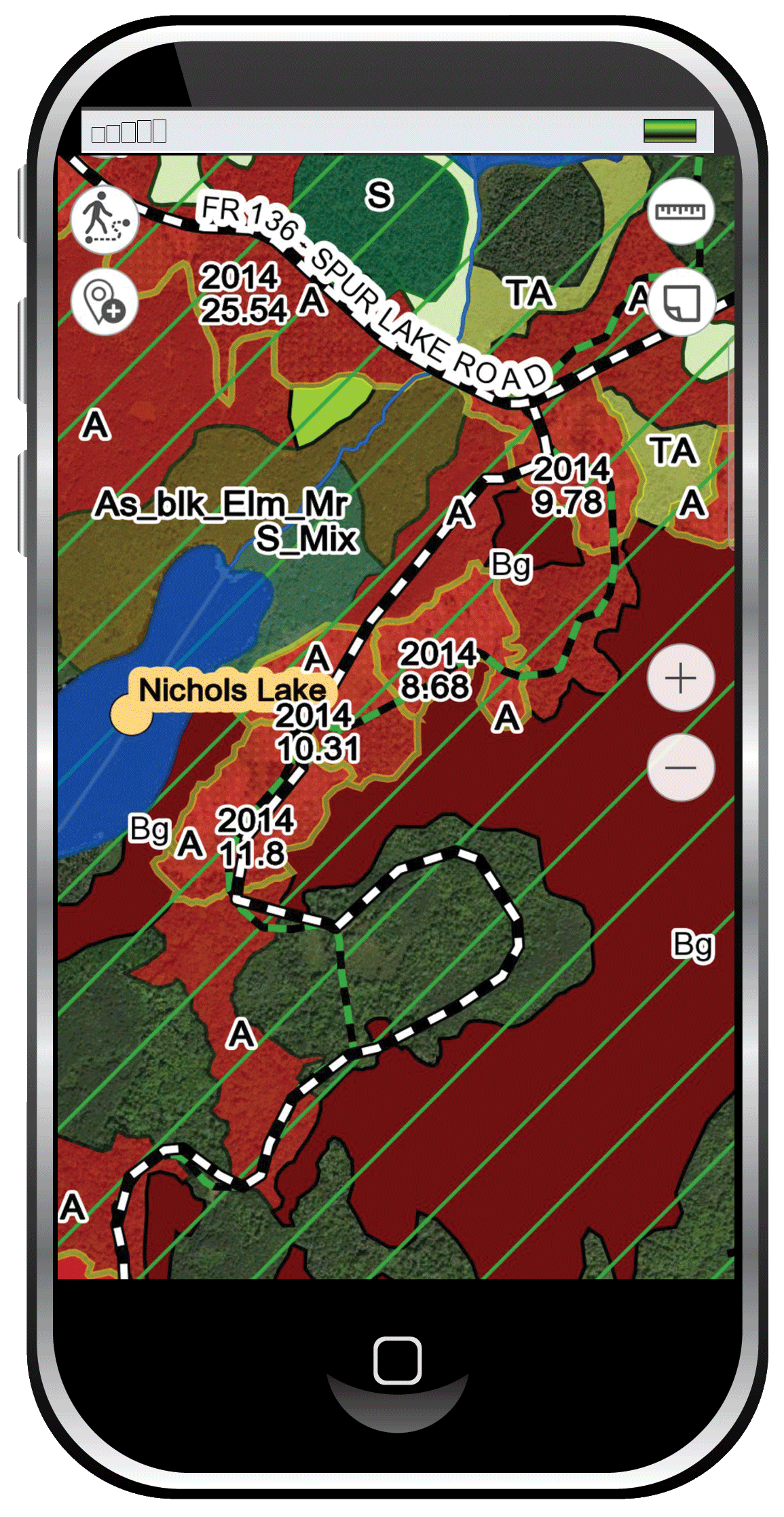
Your time is valuable. Don’t waste it looking for prime habitat. Use our system and head directly where the grouse are. Our maps include trail systems and public land boundaries. Or use our tracking feature to drop a pin where you park, confident that you’ll get back to your vehicle after a successful hunt.

We offer prime habitat layering maps statewide for Michigan, Wisconsin, Minnesota, Maine, New York, New Hampshire, Vermont, Pennsylvania, North Carolina, Tennessee, Virginia and West Virginia and we’re adding to our database all the time.

Buy Now