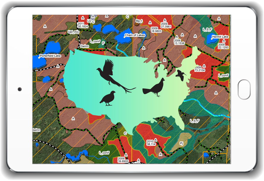
The Best Upland Hunting Maps for locating bird hunting on public land
This bird hunting package includes all the states we currently map for Grouse Hunting, Pheasant Hunting + Quail, Sharp-Tail, Huns, Chukars & Woodcock Hunting. The Mobile Grouse & Woodcock Hunting Maps cover Michigan, Wisconsin, Minnesota, New York, New Hampshire, Tennessee, West Virginia, Virginia, North Carolina, Pennsylvania, Vermont, Maine, Oregon and Washington. The Mobile Upland Hunting Maps identify the habitat for Pheasant, Quail, Sharp-Tail, Huns and Chukars. These maps cover South Dakota, North Dakota, Nebraska, Kansas, Oklahoma, Montana, Colorado, Idaho, Iowa and Wyoming.
- 12 Grouse & Woodcock habitat mobile hunting maps.
- 12 states of Pheasant, Quail, Sharp-tailed, Huns & Chukars habitat mobile hunting maps.
- Additional States added as they become available in 2023
- Our maps are updated throughout the year. Most of the major updates are on March 1st, June 30th, August 30th, September 30th, October 18th & November 17th
- Maps frequently need to be updated due to changes in data that will affect the accuracy of the maps. It is our goal to provide you with the most current data available.
- If you go to work with your map and it says “Map Expired” please go to your account to download the most current map.
Each game bird species has different habitat needs. Therefore, our Grouse & Woodcock Hunting Maps vary slightly from Upland Hunting Maps. Specific habitat mapped only for Grouse & Woodcock noted with * below. While the Upland birds unique habitat features mapped are noted with **.
- Mapped lowland data: Marshes, wetland grass, tag alder & lowland shrubs*
- Coverage of lowland grass lands & cattail sloughs**
- Coverage of seeps & cattail springs**
- Crop data identified to pinpoint food sources**
- Grassland areas & shrub data**
- Regional Forest cover types mapped for Northern Hardwoods, Maple, Oak, Mixed Hardwoods, Aspen, Birch, Conifers, Pines, Firs, Transitional Cover Mixes, Upland & Lowland Shrubs
- Western Walk-in Areas: Hunter program identifies private lands open to public hunting through walk-in access. Habitat, crop and boundaries mapped. Note: This will not be available until September due to state data release timing
- All cuts and habitat on commercial timber lands identified pending August 1st data release
Key Features of our mapping systems functions & abilities
- Works Off-Line Anytime. No cell service needed
- Entire map is downloaded at one time and can be viewed within the device by zooming in and out
- Some western states are broke into regional maps due to size of habitat data.
- Compass direction overlay to assist in tracking toward a specific area
- GPS live tracking/breadcrumbs. Identifies your location.
- Record GPS coordinates and export to Google Maps for navigation
- Track & share your location
- Import WMS base maps
- Print maps saved on your PC
- Save maps on your PC as a PDF
- Embed photos and videos within your saved points of interest for future reference
- Export your saved points, lines, and polygons to your other devices
- Ability to load a selection of 14 different base maps
- Create hunt projects with waypoints, lines and polygons
- Measurement tool to calculate distance to waypoint & area size
- Create a destination waypoint to track
- Download your tracks and waypoints
- Attach photos, videos, or files to waypoints and share
- Identify features on the map. Search features then it will flash identification of habitat shapes.
- Maps Offline (Satellite, Topography)
- Set map scale
- Print Maps
- Compatible with Windows® desktop or laptop, Android® tablet or cell phone, iPad or iPhone
- Install on 3 of your own personal devices. Utilize maps across your devices.
- Technical Support 1-906-767-0045
- Our maps are updated throughout the year. Most of the major updates are on March 1st, June 30th, August 30th, September 30th, October 18th & November 17th
- Maps frequently need to be updated due to changes in data that will affect the accuracy of the maps. It is our goal to provide you with the most current data available.
- This is a yearly subscription. Renewals ARE AUTOMATIC on your purchase anniversary date.
- Auto-renewal price will be charged yearly to your payment method on file unless you, the user, cancel the subscription.