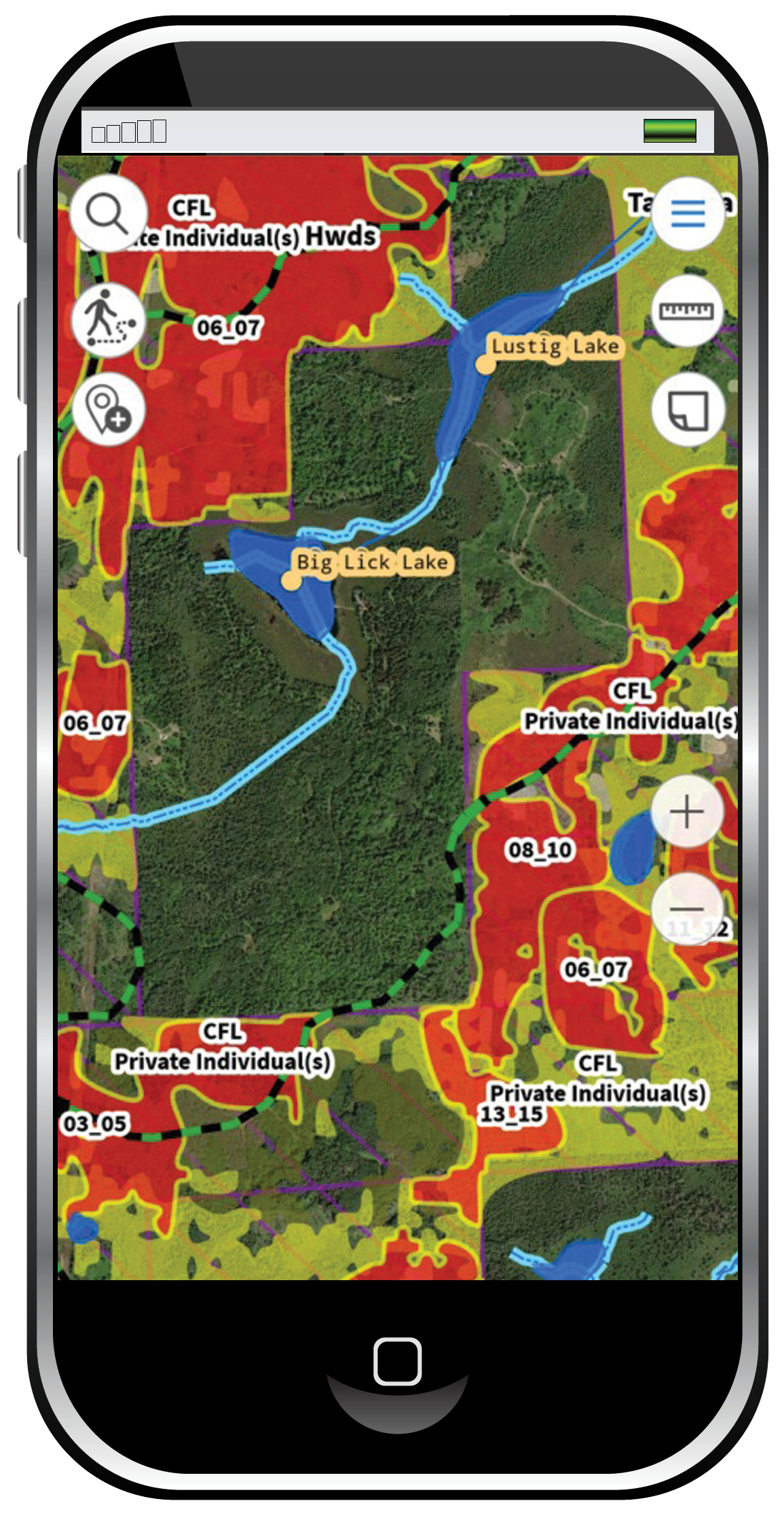
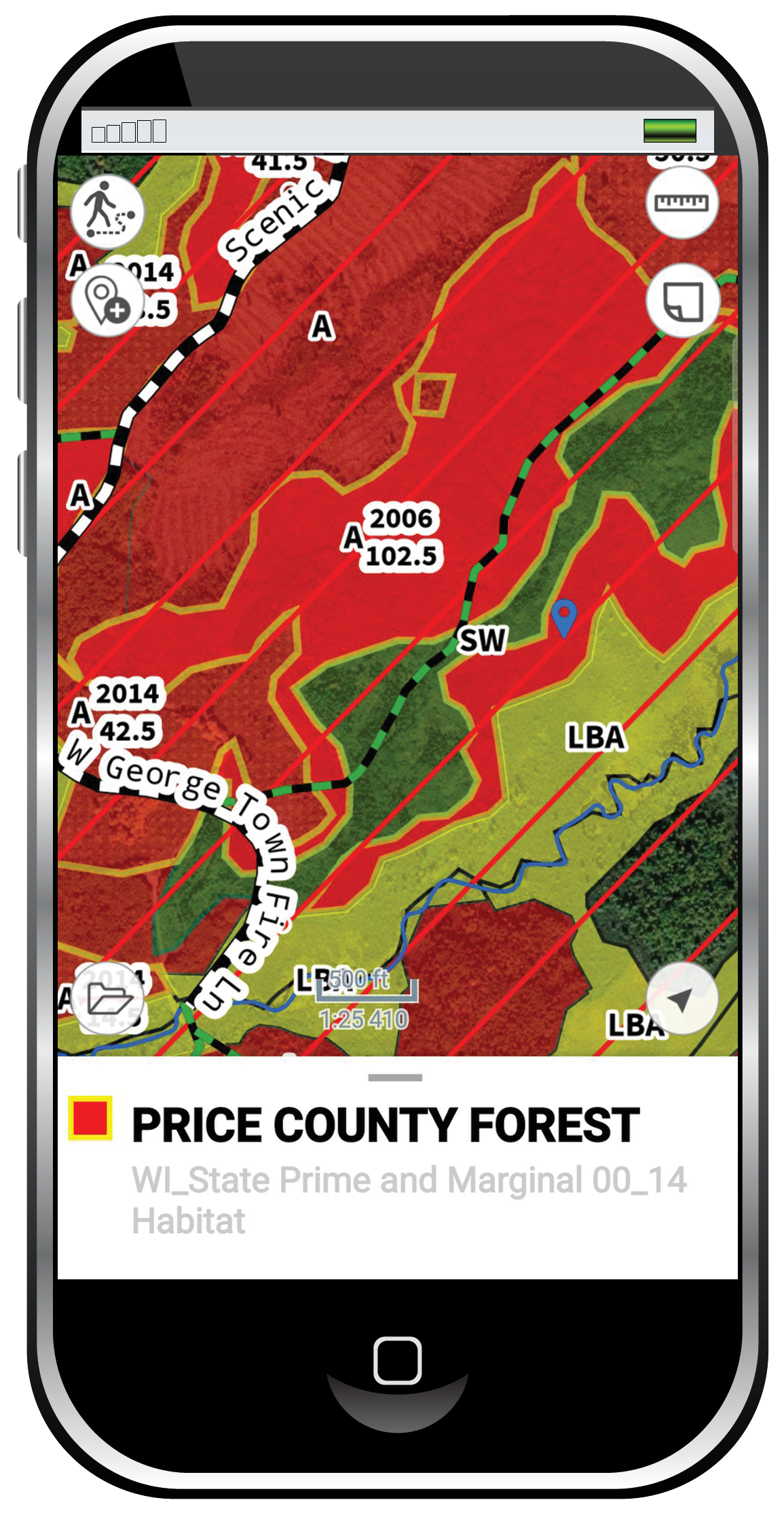
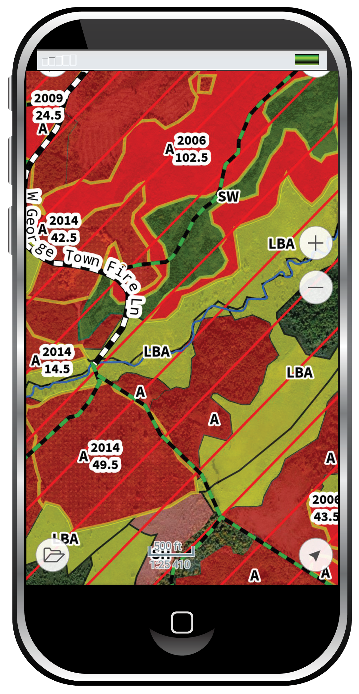
Scout-N-Hunt maps Forest Habitat for bird hunting
It’s crucial to identify tree species, forest age and cover areas if you want to find upland game hotspots
Upland Hot Spots
Food, shelter and escape routes. Pinpoint hotspots by identifying tree species and harvest dates. Map layers reveal where birds will feed and areas that provide cover.
Lowland Habitat
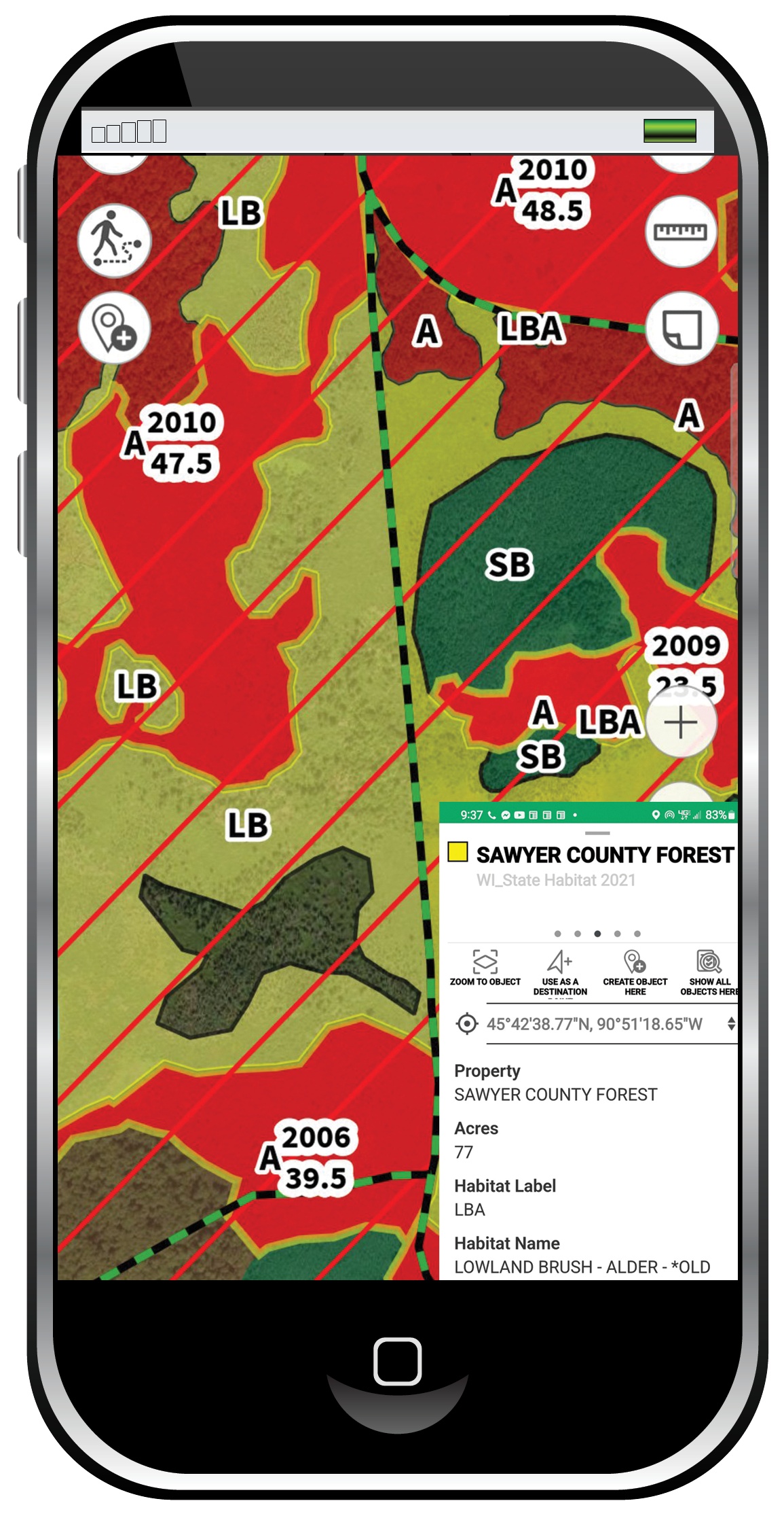
Marshlands, tag alder stands and moisture-tolerate conifers like hemlock and spruce all offer protection from weather and predators.
Upland Habitat
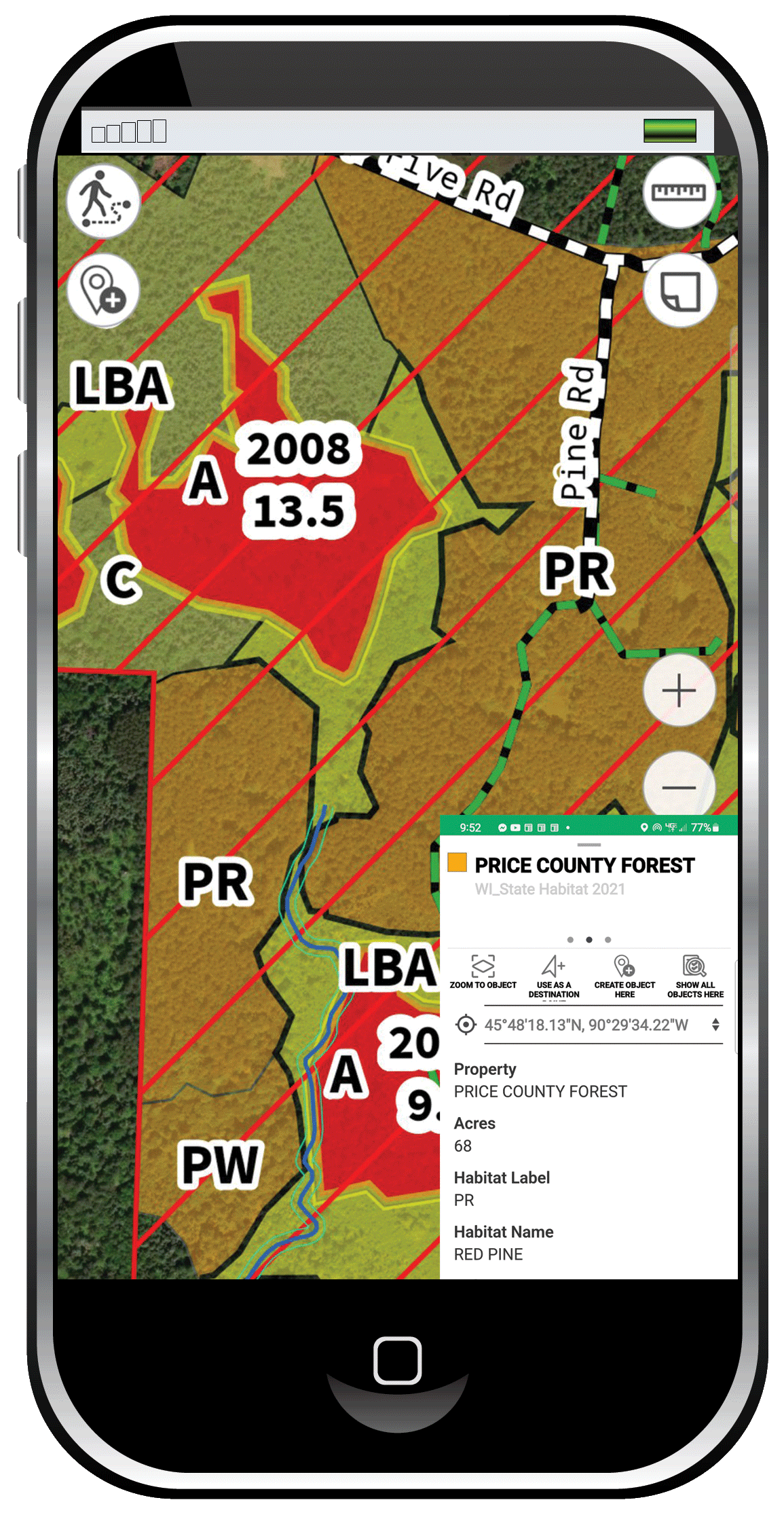
Aspen groves, hardwood stands and edges of grasslands contain multiple feeding opportunities while balsams offer security to hold birds close.
Find Forest Data on Public Hunting Land
Our map layers paint the complete picture of a successful upland game hunt. Use the offline, available anytime system to position yourself in the hotspots. Target food sources while considering likely escape routes.
Forest composition, age and commercial tree harvest dates in one place. We’re the only company mapping Commercial Forest Lands. Founded by a forester, Hunt-N-Scout understands that how forests are managed affects upland game populations. That’s why we’ve been mapping Forest Habitat for over twenty years.
Hunt-N-Scout isn’t just a mapping program. It’s people. Foresters, bird dog trainers and upland game hunters passionate about the latest research. People who pore over maps, spend free time in the forest, making the most of every moment. We know what works because we love what we do.

